
GIS & Interactive Maps
One map the whole city works on.
The spatial layer beneath permits, work orders, assets, inspections and resident reports, internal for departments and published for the public from the same data.
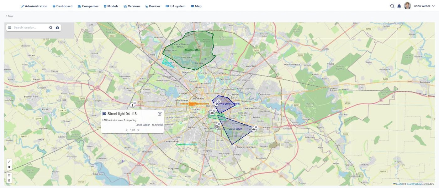
The operational map: what is where, and what state it is in right now.
What changes
One version of where
Departments stop keeping private shapefiles because the authoritative layer is the one they work in.
Constraints applied automatically
A permit application against a location picks up the overlays that apply to it.
Public information without extra work
A layer published to residents is the same layer staff use, not a copy made quarterly.
Key capabilities
Base and thematic layers
Parcels, zoning, rights of way, floodplain and overlays, versioned and dated.
Live operational layers
Open work orders, active permits, reported problems and asset condition drawn on the map.
Public maps
Selected layers published for residents, with the same geometry and no separate export.
Spatial queries
Everything within a distance, a district or a flood zone, answered without a GIS analyst.
Field positioning
Crews and inspectors see where they are against the asset they were sent to.
Standards and exchange
Open formats and services so the map is consumed by the systems that need it.
How it works
Establish the base
Parcels, streets and overlays loaded once and kept current from the source of record.
Position the work
Permits, work orders, assets and reports all carry a location from the moment they are created.
Answer spatially
Questions about an area are answered from the map instead of from a request to IT.
Publish selectively
The layers residents should see are published; the rest stay internal.
Keep it current
The map updates because the work updates it, not because someone runs an export.
GIS & Interactive Maps works with the systems your city already runs.
GIS · Parcel and cadastral data · Permits · Work Orders · IoT · Open data · REST API
Related solutions
Public Asset Management
The assets the map positions.
Learn more →Digital Permits & Licensing
Applications checked against the overlays that apply to the parcel.
Learn more →Digital Twin
The spatial model built on the same layers.
Learn more →Put the work on the map the city already trusts
See how Smart Digital City keeps one spatial layer under permits, assets, work and resident reports.