Digital Twin
A model of the city that stays current, because the city keeps feeding it.
A three-dimensional model built once for a presentation is out of date the following quarter. A digital twin is worth building only if the same records that run the city keep it fed: the permit that approves a building, the work order that replaces a pipe, the sensor that reports a level. That is what makes it usable for testing a change before committing to it.
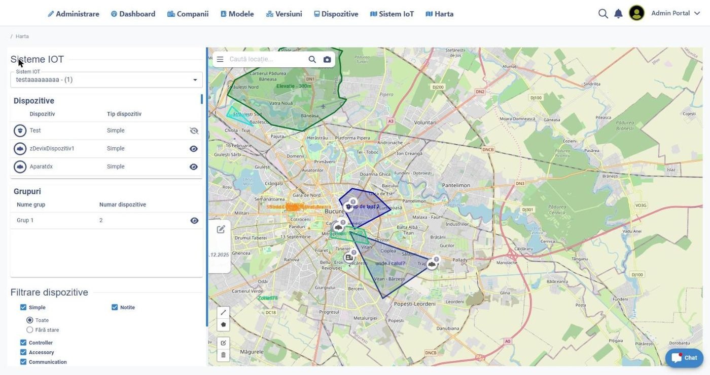
The city model with terrain, buildings and network layers, and the planned changes shown in context.
What changes
Decisions tested in context
A closure, a new building or a network change is examined against the surroundings before the decision is made.
A model that does not decay
Permits, work orders and sensor readings update the model as they happen, so it stays usable past its launch.
Consultation people understand
A public view of the model explains a proposed change better than a set of drawings does.
Key capabilities
Terrain and buildings
The base model from existing survey, cadastral and photogrammetry data the city already holds.
Networks
Water, sewer, lighting, heating and telecom layers, tied to the asset records that describe them.
Planned changes
Approved and proposed projects placed in the model, with their schedule and their footprint.
Live measurements
Sensor readings shown against the asset they belong to, not on a separate screen.
Scenarios
Variants of a change compared side by side before one is chosen.
Public views
A simplified, published model used for consultation and for information.
How it works
Build on existing data
The model starts from the cadastral, GIS and survey data the city already owns.
Keep it fed
Permits, work orders and asset changes update the model as part of normal work.
Test before committing
Proposed changes are placed in the model and compared as scenarios.
Use it publicly
The public view carries the proposal into consultation in a form residents can read.
Keep the history
Past states remain available, so what the city looked like before a change is documented.
Digital Twin works with the systems your city already runs.
GIS and cadastral systems, CAD and BIM, photogrammetry and LiDAR, IoT and sensor networks, permitting and asset records, public consultation portals.
Related solutions
GIS & Interactive Maps
The spatial data and map services the model is built on.
Learn more →Urban IoT
The live measurements that keep the model current.
Learn more →Capital Projects
Planned works placed in the model before they are built.
Learn more →See the model against your own data
We will place a proposed change in the model, compare two scenarios and show the public view of it.